NomadTracks for skiing & winter sports
Every descent, drawn in the snow
Skiing, snowboarding, ski touring, snowshoeing — winter days are elevation stories, and NomadTracks tells them precisely: ascent and descent meters, speed charts that separate the climb from the run, and a recorded line through terrain where summer trails don't exist.
Ascent vs. descent, untangled
The elevation and speed charts make every lap readable: skin track up, run down, repeat. Gain and loss are tracked separately and honestly.
Gloves-friendly recording
Start and stop from the Apple Watch, glance at live stats on the Lock Screen — the phone stays warm in the inner pocket all day.
Terrain without trails
Off-piste there's no path network to follow — but your recorded line and the georeferenced ski-touring map overlay keep the route home unambiguous, fully offline.
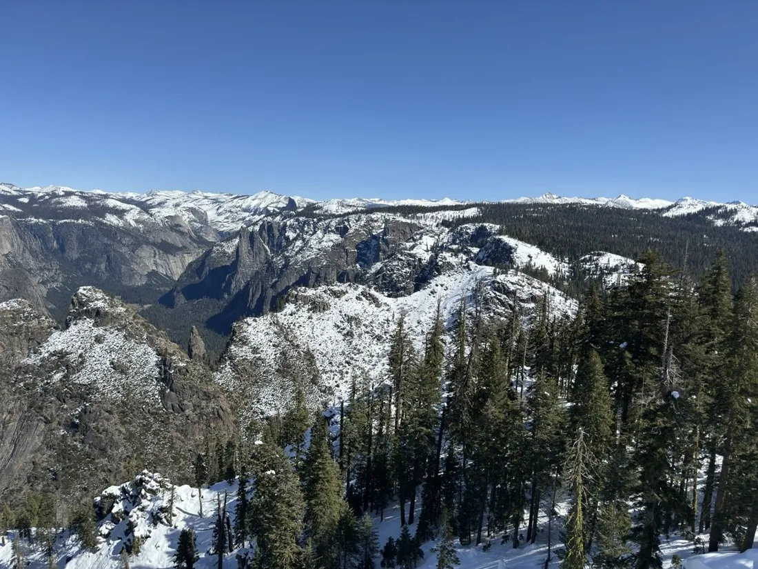
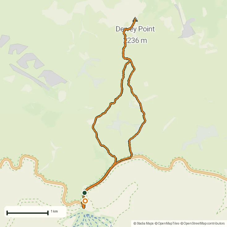
From the field
Real recordings, real places
Tap a photo or map to open the full track story — route, elevation profile and GPX download included.
Questions
FAQ
Does cold weather affect recording?
GPS itself is unaffected; cold mainly costs battery. Keeping the phone in an inner pocket and recording from the Watch is the proven winter setup.
Can I see how many vertical meters I skied?
Yes — elevation gain and loss are recorded separately, with full charts per recording. A lift-served day shows its laps clearly.
Can I use a ski-touring paper map?
Yes — photograph or import it and georeference it like any custom map; alpine-club ski-route sheets work beautifully as live overlays.
Free on the App Store
Record, map and keep every adventure — privately, on your own devices.